
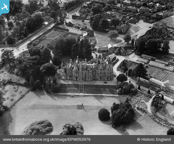
EPW053976 ENGLAND (1937). Stanmore Hall, Stanmore, 1937
© Hawlfraint cyfranwyr OpenStreetMap a thrwyddedwyd gan yr OpenStreetMap Foundation. 2026. Trwyddedir y gartograffeg fel CC BY-SA.
Delweddau cyfagos (2)
EPW053976

EPR000523

Manylion
| Pennawd | [EPW053976] Stanmore Hall, Stanmore, 1937 |
| Cyfeirnod | EPW053976 |
| Dyddiad | June-1937 |
| Dolen | |
| Enw lle | STANMORE |
| Plwyf | |
| Ardal | |
| Gwlad | ENGLAND |
| Dwyreiniad / Gogleddiad | 516511, 193049 |
| Hydred / Lledred | -0.31669758842323, 51.623713881164 |
| Cyfeirnod Grid Cenedlaethol | TQ165930 |
