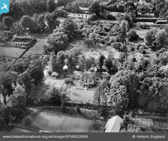
EPW053898 ENGLAND (1937). Dron House and surroundings, Stanmore, 1937
    © Hawlfraint cyfranwyr OpenStreetMap a thrwyddedwyd gan yr OpenStreetMap Foundation. 2025. Trwyddedir y gartograffeg fel CC BY-SA.
  
Delweddau cyfagos (6)
Manylion
| Pennawd | [EPW053898] Dron House and surroundings, Stanmore, 1937 | 
| Cyfeirnod | EPW053898 | 
| Dyddiad | July-1937 | 
| Dolen | |
| Enw lle | STANMORE | 
| Plwyf | |
| Ardal | |
| Gwlad | ENGLAND | 
| Dwyreiniad / Gogleddiad | 516782, 192421 | 
| Hydred / Lledred | -0.31299350317601, 51.618012969924 | 
| Cyfeirnod Grid Cenedlaethol | TQ168924 | 
Pinnau
Byddwch y cyntaf i ychwanegu sylw at y ddelwedd hon!
 
             
  ![[EPW053898] Dron House and surroundings, Stanmore, 1937](http://britainfromabove.org.uk/sites/all/libraries/aerofilms-images/public/100x100/EPW/053/EPW053898.jpg) 
  
                                          ![[EPW053896] Dron House, Stanmore, 1937](http://britainfromabove.org.uk/sites/all/libraries/aerofilms-images/public/100x100/EPW/053/EPW053896.jpg) 
 ![[EPW053897] Dron House and surroundings, Stanmore, 1937](http://britainfromabove.org.uk/sites/all/libraries/aerofilms-images/public/100x100/EPW/053/EPW053897.jpg) 
 ![[EPW053894] The Elm Park Tennis Courts, the Stanmore Bowling Green and the residential area surrounding Pynnacles Close, Stanmore, 1937](http://britainfromabove.org.uk/sites/all/libraries/aerofilms-images/public/100x100/EPW/053/EPW053894.jpg) 
 ![[EPW053895] The Elm Park Tennis Courts and the Stanmore Bowling Green, Stanmore, 1937](http://britainfromabove.org.uk/sites/all/libraries/aerofilms-images/public/100x100/EPW/053/EPW053895.jpg) 
 ![[EPW053977] St John's Church and Church Road, Stanmore, 1937](http://britainfromabove.org.uk/sites/all/libraries/aerofilms-images/public/100x100/EPW/053/EPW053977.jpg)