
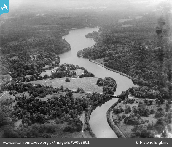
EPW053891 ENGLAND (1937). Virginia Water, Windsor, from the north-west, 1937
© Hawlfraint cyfranwyr OpenStreetMap a thrwyddedwyd gan yr OpenStreetMap Foundation. 2026. Trwyddedir y gartograffeg fel CC BY-SA.
Delweddau cyfagos (3)
EPW053891

EAW014890

EPW053890

Manylion
| Pennawd | [EPW053891] Virginia Water, Windsor, from the north-west, 1937 |
| Cyfeirnod | EPW053891 |
| Dyddiad | 25-June-1937 |
| Dolen | |
| Enw lle | WINDSOR |
| Plwyf | OLD WINDSOR |
| Ardal | |
| Gwlad | ENGLAND |
| Dwyreiniad / Gogleddiad | 496229, 169148 |
| Hydred / Lledred | -0.61614941848488, 51.412682510215 |
| Cyfeirnod Grid Cenedlaethol | SU962691 |
Pinnau
Byddwch y cyntaf i ychwanegu sylw at y ddelwedd hon!