
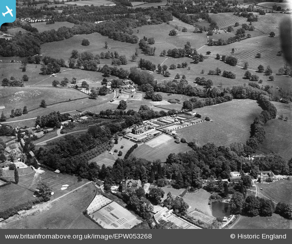
EPW053268 ENGLAND (1937). High Beech House and environs, South Nutfield, 1937
© Hawlfraint cyfranwyr OpenStreetMap a thrwyddedwyd gan yr OpenStreetMap Foundation. 2026. Trwyddedir y gartograffeg fel CC BY-SA.
Delweddau cyfagos (7)
EPW053268

EPW053270

EPW053269

EPW053274

EPW053273

EPW053272

EPW053266

Manylion
| Pennawd | [EPW053268] High Beech House and environs, South Nutfield, 1937 |
| Cyfeirnod | EPW053268 |
| Dyddiad | 27-May-1937 |
| Dolen | |
| Enw lle | SOUTH NUTFIELD |
| Plwyf | NUTFIELD |
| Ardal | |
| Gwlad | ENGLAND |
| Dwyreiniad / Gogleddiad | 531359, 149767 |
| Hydred / Lledred | -0.11835005095967, 51.23143673889 |
| Cyfeirnod Grid Cenedlaethol | TQ314498 |
Pinnau

Nutfield_warbler |
Friday 10th of July 2015 10:31:51 PM | |
|
Derek |
Saturday 29th of November 2014 06:12:07 AM |