
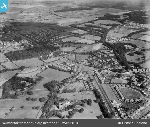
EPW052013 ENGLAND (1936). Moor Allerton, Leeds, from the south-west, 1936
© Hawlfraint cyfranwyr OpenStreetMap a thrwyddedwyd gan yr OpenStreetMap Foundation. 2026. Trwyddedir y gartograffeg fel CC BY-SA.
Delweddau cyfagos (3)
EPW052013

EPW052008

EPW052009

Manylion
| Pennawd | [EPW052013] Moor Allerton, Leeds, from the south-west, 1936 |
| Cyfeirnod | EPW052013 |
| Dyddiad | October-1936 |
| Dolen | |
| Enw lle | LEEDS |
| Plwyf | |
| Ardal | |
| Gwlad | ENGLAND |
| Dwyreiniad / Gogleddiad | 430510, 438926 |
| Hydred / Lledred | -1.5362200236281, 53.845469481514 |
| Cyfeirnod Grid Cenedlaethol | SE305389 |
Pinnau

LS1 |
Wednesday 9th of October 2024 12:52:45 PM | |
|
smiley |
Saturday 21st of May 2016 12:08:57 AM | |
|
diamondeyes |
Friday 20th of December 2013 03:27:14 PM |
Cyfraniadau Grŵp
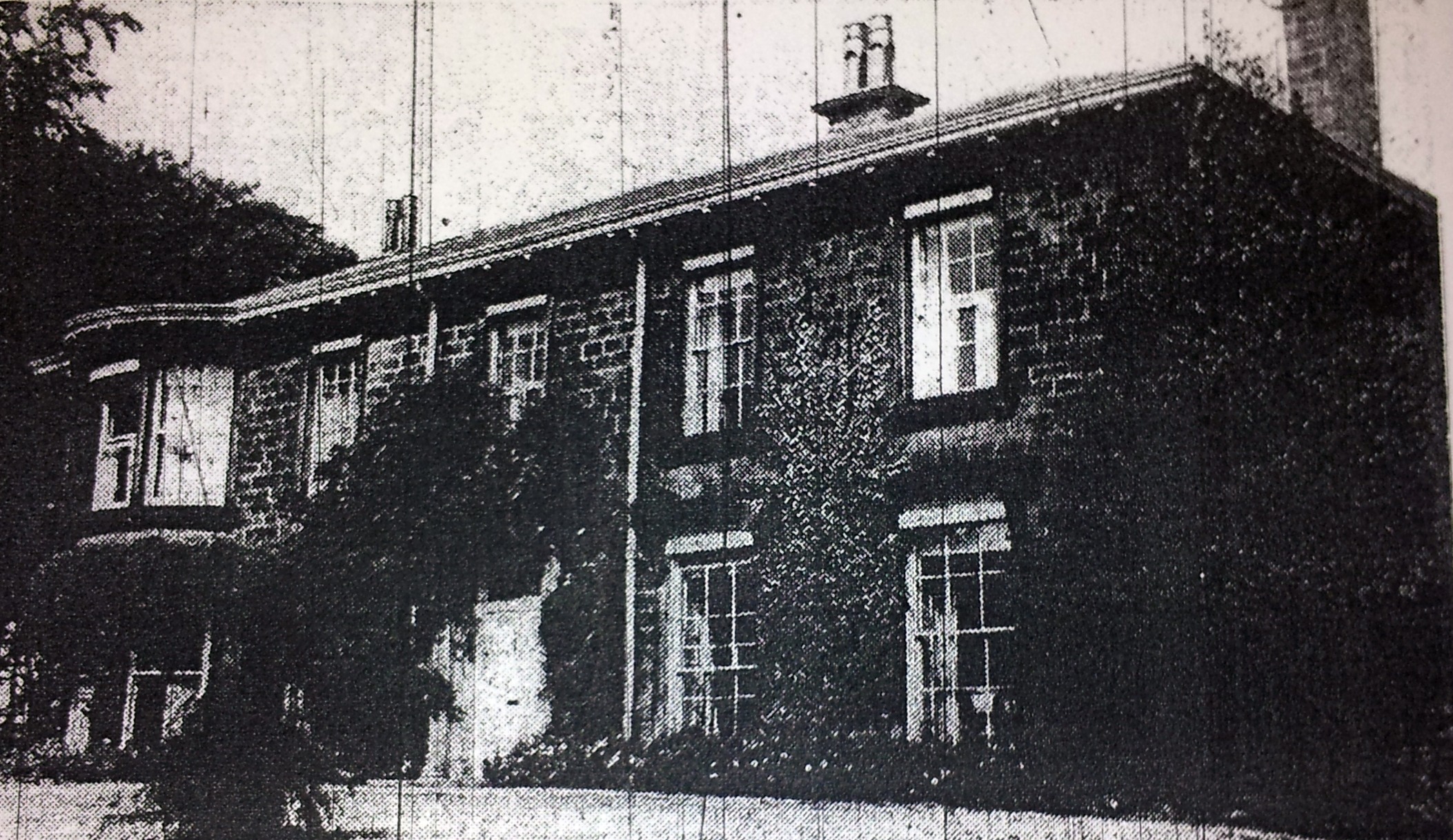
Stonegate Road Manor House 1962 |
diamondeyes |
Friday 20th of December 2013 03:30:10 PM |