
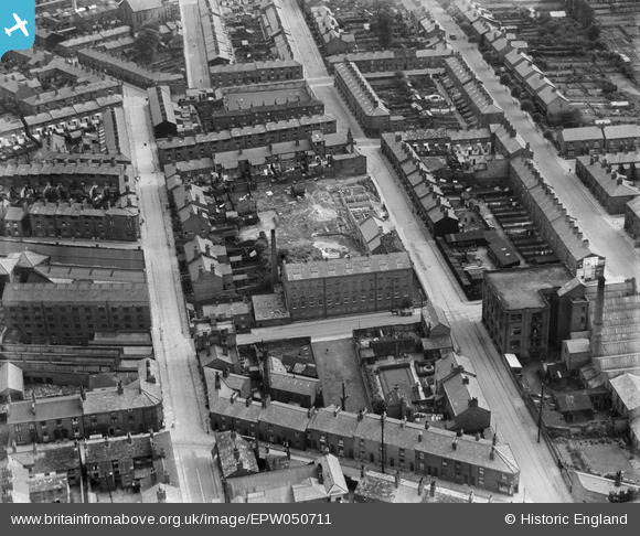
EPW050711 ENGLAND (1936). The Henderson Street Silk Mill and the surrounding residential area, Macclesfield, 1936
© Hawlfraint cyfranwyr OpenStreetMap a thrwyddedwyd gan yr OpenStreetMap Foundation. 2026. Trwyddedir y gartograffeg fel CC BY-SA.
Delweddau cyfagos (15)
EPW050711

EPW050714

EPW050715

EPW050713

EPW050712

EPW050716

EPW016738

EAW018050

EAW018055

EAW018053

EAW018052

EAW018051

EAW018054

EAW018049

EAW018056

Manylion
| Pennawd | [EPW050711] The Henderson Street Silk Mill and the surrounding residential area, Macclesfield, 1936 |
| Cyfeirnod | EPW050711 |
| Dyddiad | June-1936 |
| Dolen | |
| Enw lle | MACCLESFIELD |
| Plwyf | |
| Ardal | |
| Gwlad | ENGLAND |
| Dwyreiniad / Gogleddiad | 391381, 373366 |
| Hydred / Lledred | -2.1292110451269, 53.256951687595 |
| Cyfeirnod Grid Cenedlaethol | SJ914734 |
Pinnau

jonnyhud |
Sunday 24th of November 2013 02:39:00 PM | |
|
jonnyhud |
Sunday 24th of November 2013 02:37:39 PM | |
|
jonnyhud |
Sunday 24th of November 2013 02:36:43 PM | |
|
jonnyhud |
Sunday 24th of November 2013 02:35:47 PM | |
|
jonnyhud |
Sunday 24th of November 2013 02:34:16 PM | |
|
jonnyhud |
Sunday 24th of November 2013 02:31:40 PM | |
|
jonnyhud |
Sunday 24th of November 2013 02:30:05 PM | |
|
jonnyhud |
Sunday 24th of November 2013 02:28:31 PM |