
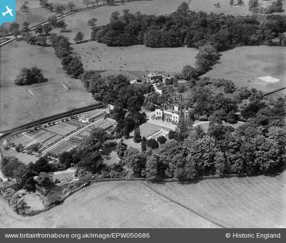
EPW050686 ENGLAND (1936). Bonis Hall, Prestbury, 1936
© Hawlfraint cyfranwyr OpenStreetMap a thrwyddedwyd gan yr OpenStreetMap Foundation. 2026. Trwyddedir y gartograffeg fel CC BY-SA.
Delweddau cyfagos (5)
EPW050686

EPW050688

EPW050687

EPW050685

EPW050689

Manylion
| Pennawd | [EPW050686] Bonis Hall, Prestbury, 1936 |
| Cyfeirnod | EPW050686 |
| Dyddiad | June-1936 |
| Dolen | |
| Enw lle | PRESTBURY |
| Plwyf | PRESTBURY |
| Ardal | |
| Gwlad | ENGLAND |
| Dwyreiniad / Gogleddiad | 390290, 378944 |
| Hydred / Lledred | -2.1457371272642, 53.307077732164 |
| Cyfeirnod Grid Cenedlaethol | SJ903789 |
Pinnau

John Ellis |
Sunday 28th of August 2016 09:22:03 PM | |
|
John Ellis |
Sunday 28th of August 2016 09:20:44 PM | |
|
John Ellis |
Sunday 28th of August 2016 09:19:16 PM |