
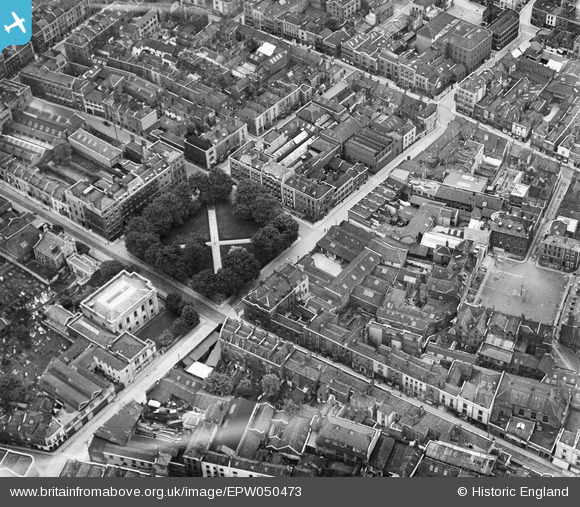
EPW050473 ENGLAND (1936). Brunswick Square and environs, Bristol, 1936
© Hawlfraint cyfranwyr OpenStreetMap a thrwyddedwyd gan yr OpenStreetMap Foundation. 2026. Trwyddedir y gartograffeg fel CC BY-SA.
Delweddau cyfagos (7)
EPW050473

EPW050475

EPW050474

EPW050472

EPW012229

EPW050471

EPW012228

Manylion
| Pennawd | [EPW050473] Brunswick Square and environs, Bristol, 1936 |
| Cyfeirnod | EPW050473 |
| Dyddiad | June-1936 |
| Dolen | |
| Enw lle | BRISTOL |
| Plwyf | |
| Ardal | |
| Gwlad | ENGLAND |
| Dwyreiniad / Gogleddiad | 359235, 173605 |
| Hydred / Lledred | -2.5868223392612, 51.459463451172 |
| Cyfeirnod Grid Cenedlaethol | ST592736 |
Pinnau

Class31 |
Saturday 8th of March 2014 07:37:44 PM | |
|
Class31 |
Saturday 8th of March 2014 07:36:13 PM | |
|
Class31 |
Thursday 12th of December 2013 03:39:33 PM | |
|
Class31 |
Thursday 12th of December 2013 03:38:39 PM | |
|
Class31 |
Thursday 12th of December 2013 03:38:04 PM | |
|
Class31 |
Thursday 12th of December 2013 03:37:32 PM | |
|
Class31 |
Thursday 12th of December 2013 03:37:15 PM | |
|
Class31 |
Thursday 12th of December 2013 03:36:42 PM |

Cyfraniadau Grŵp
View looking south east. |
Class31 |
Thursday 12th of December 2013 03:40:02 PM |