
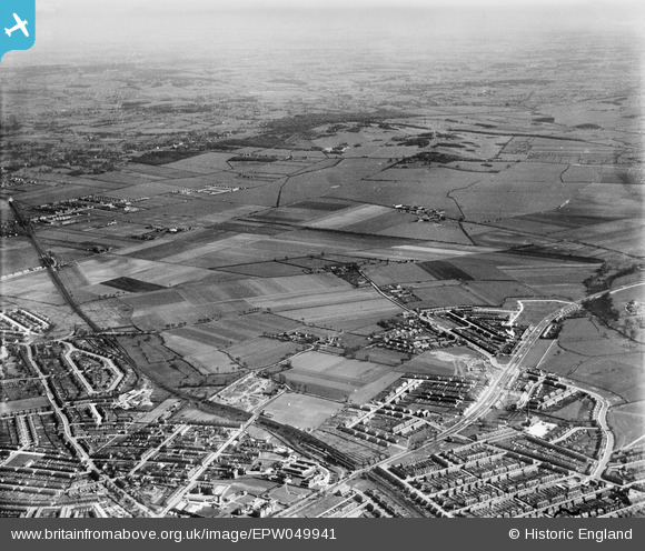
EPW049941 ENGLAND (1936). Countryside to the north-east of Newbury Park Station, Aldborough Hatch, from the south-west, 1936
© Hawlfraint cyfranwyr OpenStreetMap a thrwyddedwyd gan yr OpenStreetMap Foundation. 2026. Trwyddedir y gartograffeg fel CC BY-SA.
Delweddau cyfagos (2)
EPW049941

EPW049940

Manylion
| Pennawd | [EPW049941] Countryside to the north-east of Newbury Park Station, Aldborough Hatch, from the south-west, 1936 |
| Cyfeirnod | EPW049941 |
| Dyddiad | April-1936 |
| Dolen | |
| Enw lle | ALDBOROUGH HATCH |
| Plwyf | |
| Ardal | |
| Gwlad | ENGLAND |
| Dwyreiniad / Gogleddiad | 545312, 189266 |
| Hydred / Lledred | 0.097568847351297, 51.583018396211 |
| Cyfeirnod Grid Cenedlaethol | TQ453893 |
Pinnau

jaimiddleton |
Sunday 16th of May 2021 05:54:37 PM | |
|
Hermann the German |
Monday 21st of July 2014 01:15:48 PM | |
|
Hermann the German |
Monday 28th of October 2013 03:09:38 PM | |
|
Hermann the German |
Monday 28th of October 2013 02:54:44 PM | |
|
Hermann the German |
Monday 28th of October 2013 02:47:05 PM |