
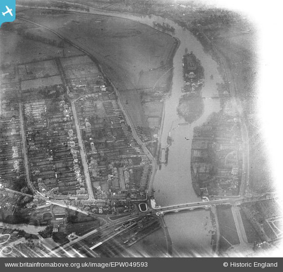
EPW049593 ENGLAND (1936). The River Thames at Hampton Court Bridge, Taggs Island and environs, East Molesey, 1936. This image has been affected by flare.
© Hawlfraint cyfranwyr OpenStreetMap a thrwyddedwyd gan yr OpenStreetMap Foundation. 2026. Trwyddedir y gartograffeg fel CC BY-SA.
Delweddau cyfagos (6)
EPW049593

EPW022850

EAW003673

EAW003674

EPW001714

EPW031570

Manylion
| Pennawd | [EPW049593] The River Thames at Hampton Court Bridge, Taggs Island and environs, East Molesey, 1936. This image has been affected by flare. |
| Cyfeirnod | EPW049593 |
| Dyddiad | January-1936 |
| Dolen | |
| Enw lle | EAST MOLESEY |
| Plwyf | |
| Ardal | |
| Gwlad | ENGLAND |
| Dwyreiniad / Gogleddiad | 514962, 168660 |
| Hydred / Lledred | -0.34702267152219, 51.404806598408 |
| Cyfeirnod Grid Cenedlaethol | TQ150687 |
Pinnau
Byddwch y cyntaf i ychwanegu sylw at y ddelwedd hon!