
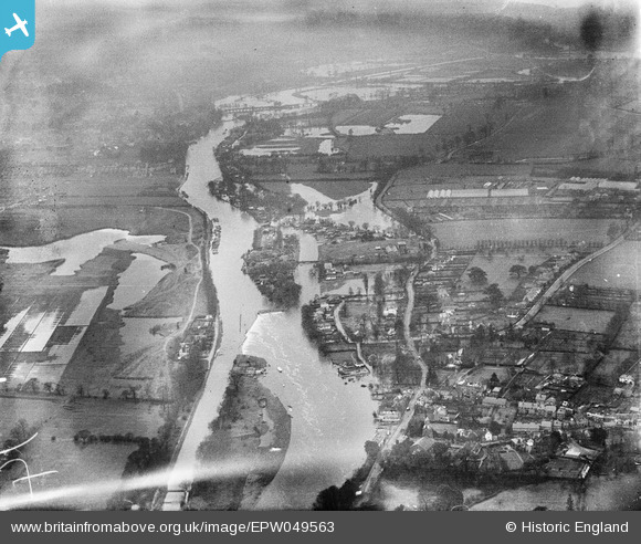
EPW049563 ENGLAND (1936). Sunbury Weir and the River Thames, Sunbury, from the north-east, 1936. This image has been produced from a damaged negative.
© Hawlfraint cyfranwyr OpenStreetMap a thrwyddedwyd gan yr OpenStreetMap Foundation. 2026. Trwyddedir y gartograffeg fel CC BY-SA.
Delweddau cyfagos (9)
EPW049563

EPW049601

EPW028312

EPW028313

EPW028311

EPW028317

EPW023469

EAW003681

EPW028318

Manylion
| Pennawd | [EPW049563] Sunbury Weir and the River Thames, Sunbury, from the north-east, 1936. This image has been produced from a damaged negative. |
| Cyfeirnod | EPW049563 |
| Dyddiad | January-1936 |
| Dolen | |
| Enw lle | SUNBURY |
| Plwyf | |
| Ardal | |
| Gwlad | ENGLAND |
| Dwyreiniad / Gogleddiad | 510566, 168318 |
| Hydred / Lledred | -0.41031036623743, 51.402606521833 |
| Cyfeirnod Grid Cenedlaethol | TQ106683 |
Pinnau

Hanworth1915 |
Tuesday 1st of August 2023 02:16:58 PM | |
|
Hanworth1915 |
Tuesday 1st of August 2023 02:14:14 PM | |
|
Hanworth1915 |
Tuesday 1st of August 2023 02:05:19 PM | |
|
Hanworth1915 |
Tuesday 1st of August 2023 02:04:17 PM |