
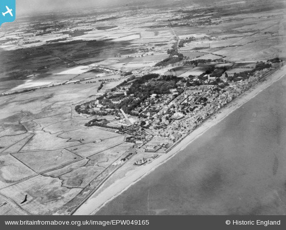
EPW049165 ENGLAND (1935). The town and the surrounding countryside, Aldeburgh, 1935. This image has been produced from a copy-negative.
© Hawlfraint cyfranwyr OpenStreetMap a thrwyddedwyd gan yr OpenStreetMap Foundation. 2026. Trwyddedir y gartograffeg fel CC BY-SA.
Delweddau cyfagos (2)
EPW049165

EAW038304

Manylion
| Pennawd | [EPW049165] The town and the surrounding countryside, Aldeburgh, 1935. This image has been produced from a copy-negative. |
| Cyfeirnod | EPW049165 |
| Dyddiad | September-1935 |
| Dolen | |
| Enw lle | ALDEBURGH |
| Plwyf | ALDEBURGH |
| Ardal | |
| Gwlad | ENGLAND |
| Dwyreiniad / Gogleddiad | 646214, 256389 |
| Hydred / Lledred | 1.5994836728252, 52.150383450712 |
| Cyfeirnod Grid Cenedlaethol | TM462564 |
