
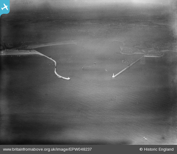
EPW048237 ENGLAND (1935). The South Pier and the North Pier at the entrance to the River Tyne, Tynemouth, 1935
© Hawlfraint cyfranwyr OpenStreetMap a thrwyddedwyd gan yr OpenStreetMap Foundation. 2026. Trwyddedir y gartograffeg fel CC BY-SA.
Delweddau cyfagos (2)
EPW048237

 0°
0m
0°
0m
EPW048792
 69°
116m
69°
116m
Manylion
| Pennawd | [EPW048237] The South Pier and the North Pier at the entrance to the River Tyne, Tynemouth, 1935 |
| Cyfeirnod | EPW048237 |
| Dyddiad | July-1935 |
| Dolen | |
| Enw lle | TYNEMOUTH |
| Plwyf | |
| Ardal | |
| Gwlad | ENGLAND |
| Dwyreiniad / Gogleddiad | 438196, 568797 |
| Hydred / Lledred | -1.4026513673618, 55.012188972755 |
| Cyfeirnod Grid Cenedlaethol | NZ382688 |
Pinnau
Byddwch y cyntaf i ychwanegu sylw at y ddelwedd hon!