
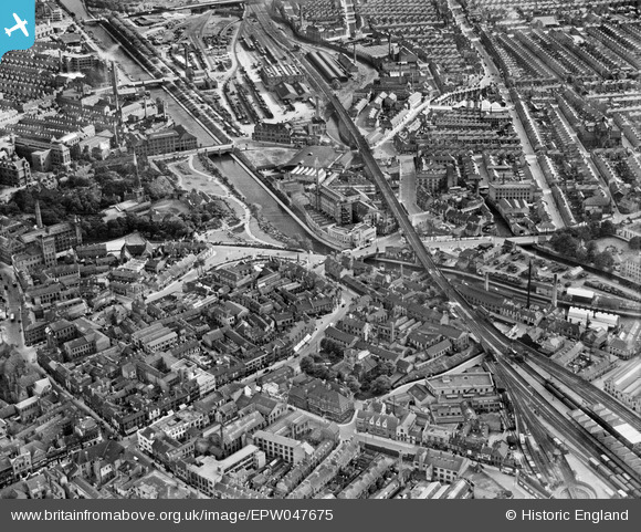
EPW047675 ENGLAND (1935). Patons & Baldwins West Bridge Worsted Spinning Mills, the Castle Gardens and environs, Leicester, 1935
© Hawlfraint cyfranwyr OpenStreetMap a thrwyddedwyd gan yr OpenStreetMap Foundation. 2026. Trwyddedir y gartograffeg fel CC BY-SA.
Delweddau cyfagos (12)
EPW047675

EPW047858

EPW047678

EPW047672

EPW047673

EPW047676

EPW047674

EPW047677

EPW047857

EPW047856

EPW047671

EPW054389

Manylion
| Pennawd | [EPW047675] Patons & Baldwins West Bridge Worsted Spinning Mills, the Castle Gardens and environs, Leicester, 1935 |
| Cyfeirnod | EPW047675 |
| Dyddiad | June-1935 |
| Dolen | |
| Enw lle | LEICESTER |
| Plwyf | |
| Ardal | |
| Gwlad | ENGLAND |
| Dwyreiniad / Gogleddiad | 458149, 304317 |
| Hydred / Lledred | -1.1407058016532, 52.633134680135 |
| Cyfeirnod Grid Cenedlaethol | SK581043 |
Pinnau

rroger156 |
Monday 6th of October 2014 12:47:11 AM | |
|
JCC |
Friday 14th of June 2013 06:53:59 PM | |
|
JCC |
Friday 14th of June 2013 06:51:19 PM | |
|
JCC |
Friday 14th of June 2013 06:49:07 PM | |
|
JCC |
Friday 14th of June 2013 06:48:25 PM | |
|
JCC |
Friday 14th of June 2013 06:47:36 PM | |
|
JCC |
Friday 14th of June 2013 06:46:32 PM | |
|
JCC |
Friday 14th of June 2013 06:45:54 PM | |
 |
JonB |
Saturday 11th of May 2013 08:18:34 PM |