
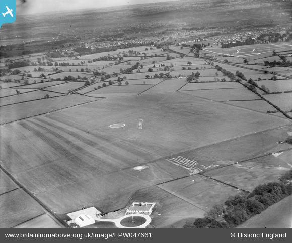
EPW047661 ENGLAND (1935). Leicester (Braunstone) Aerodrome, Leicester, 1935
© Hawlfraint cyfranwyr OpenStreetMap a thrwyddedwyd gan yr OpenStreetMap Foundation. 2026. Trwyddedir y gartograffeg fel CC BY-SA.
Delweddau cyfagos (3)
EPW047661
 Aerodrome, Leicester, 1935")
EPW047654
 Aerodrome, Leicester, 1935")
EPW047660
 Aerodrome and environs, Leicester, from the north-west, 1935")
Manylion
| Pennawd | [EPW047661] Leicester (Braunstone) Aerodrome, Leicester, 1935 |
| Cyfeirnod | EPW047661 |
| Dyddiad | June-1935 |
| Dolen | |
| Enw lle | LEICESTER |
| Plwyf | |
| Ardal | |
| Gwlad | ENGLAND |
| Dwyreiniad / Gogleddiad | 453845, 304262 |
| Hydred / Lledred | -1.2043099939237, 52.633084394159 |
| Cyfeirnod Grid Cenedlaethol | SK538043 |
Pinnau
Byddwch y cyntaf i ychwanegu sylw at y ddelwedd hon!