
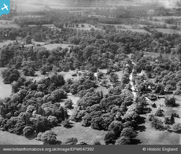
EPW047392 ENGLAND (1935). St Leonard's, Windsor, from the east, 1935
© Hawlfraint cyfranwyr OpenStreetMap a thrwyddedwyd gan yr OpenStreetMap Foundation. 2026. Trwyddedir y gartograffeg fel CC BY-SA.
Delweddau cyfagos (2)
EPW047392

EPW047389

Manylion
| Pennawd | [EPW047392] St Leonard's, Windsor, from the east, 1935 |
| Cyfeirnod | EPW047392 |
| Dyddiad | May-1935 |
| Dolen | |
| Enw lle | WINDSOR |
| Plwyf | |
| Ardal | |
| Gwlad | ENGLAND |
| Dwyreiniad / Gogleddiad | 494323, 175358 |
| Hydred / Lledred | -0.64189578926158, 51.468831214562 |
| Cyfeirnod Grid Cenedlaethol | SU943754 |
Pinnau
Byddwch y cyntaf i ychwanegu sylw at y ddelwedd hon!