
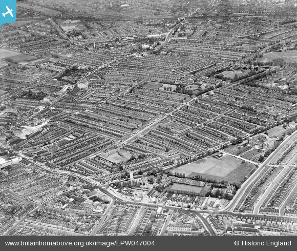
EPW047004 ENGLAND (1935). The Totterdown Fields Estate and environs, Upper Tooting, from the south, 1935
© Hawlfraint cyfranwyr OpenStreetMap a thrwyddedwyd gan yr OpenStreetMap Foundation. 2026. Trwyddedir y gartograffeg fel CC BY-SA.
Delweddau cyfagos (4)
EPW047004

EPR000415

EAW030121

EPW047002

Manylion
| Pennawd | [EPW047004] The Totterdown Fields Estate and environs, Upper Tooting, from the south, 1935 |
| Cyfeirnod | EPW047004 |
| Dyddiad | May-1935 |
| Dolen | |
| Enw lle | UPPER TOOTING |
| Plwyf | |
| Ardal | |
| Gwlad | ENGLAND |
| Dwyreiniad / Gogleddiad | 527916, 171208 |
| Hydred / Lledred | -0.15994244466366, 51.424933923039 |
| Cyfeirnod Grid Cenedlaethol | TQ279712 |
Pinnau

Paul Noel |
Tuesday 1st of July 2014 10:38:14 AM |