
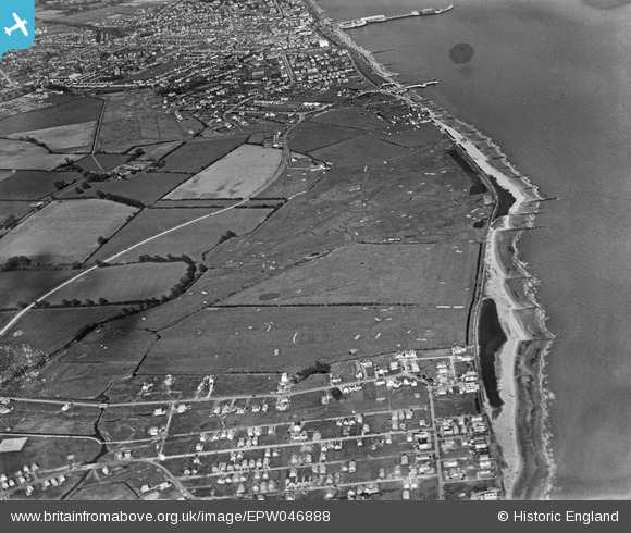
EPW046888 ENGLAND (1935). The Clacton-on-Sea Golf Course, West Road and the seafront, Clacton-on-Sea, 1935
© Hawlfraint cyfranwyr OpenStreetMap a thrwyddedwyd gan yr OpenStreetMap Foundation. 2026. Trwyddedir y gartograffeg fel CC BY-SA.
Delweddau cyfagos (9)
EPW046888

EPW046891

EPW046882

EPW046890

EPW046881

EPW046886

EPW046887

EPW046880

EPW046885

Manylion
| Pennawd | [EPW046888] The Clacton-on-Sea Golf Course, West Road and the seafront, Clacton-on-Sea, 1935 |
| Cyfeirnod | EPW046888 |
| Dyddiad | April-1935 |
| Dolen | |
| Enw lle | CLACTON-ON-SEA |
| Plwyf | |
| Ardal | |
| Gwlad | ENGLAND |
| Dwyreiniad / Gogleddiad | 615871, 213581 |
| Hydred / Lledred | 1.1297518588262, 51.778738146399 |
| Cyfeirnod Grid Cenedlaethol | TM159136 |
Pinnau
Byddwch y cyntaf i ychwanegu sylw at y ddelwedd hon!