
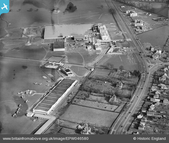
EPW046580 ENGLAND (1935). The Barnet Bypass and buildings at Hatfield Aerodrome, Hatfield, 1935
© Hawlfraint cyfranwyr OpenStreetMap a thrwyddedwyd gan yr OpenStreetMap Foundation. 2026. Trwyddedir y gartograffeg fel CC BY-SA.
Delweddau cyfagos (17)
EPW046580

EPW047566

EPW042826

EPW046577

EPW047559

EPW042827

EPW042825

EPW042829

EPW042828

EPW047558

EPW047560

EPW047564

EPW046578

EPW061123

EPW046579

EPW047565

EPW046581

Manylion
| Pennawd | [EPW046580] The Barnet Bypass and buildings at Hatfield Aerodrome, Hatfield, 1935 |
| Cyfeirnod | EPW046580 |
| Dyddiad | March-1935 |
| Dolen | |
| Enw lle | HATFIELD |
| Plwyf | HATFIELD |
| Ardal | |
| Gwlad | ENGLAND |
| Dwyreiniad / Gogleddiad | 521509, 208725 |
| Hydred / Lledred | -0.23906342555921, 51.763552187209 |
| Cyfeirnod Grid Cenedlaethol | TL215087 |
Pinnau
Cyfraniadau Grŵp
The white art deco buildings on the De Havilland airfield that faced onto the Great North Road were always a major landmark for travellers. The Stone House pub was a timing point on the green London Transport country bus routes. |

Chells809 |
Monday 17th of June 2013 09:52:27 PM |