
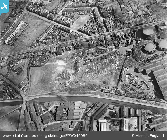
EPW046086 ENGLAND (1934). Land between the Edwin Danks and Co Ltd Oldbury Boiler Works and Brades Bridge, Oldbury, 1934
© Hawlfraint cyfranwyr OpenStreetMap a thrwyddedwyd gan yr OpenStreetMap Foundation. 2026. Trwyddedir y gartograffeg fel CC BY-SA.
Delweddau cyfagos (17)
EPW046086

EPW046080

EPW046028

EPW046022

EPW046026

EPW046030

EPW046025

EPW046023

EPW046082

EPW046024

EPW046085

EPW046077

EPW046078

EPW046081

EPW046084

EPW046079

EPW046083

Manylion
| Pennawd | [EPW046086] Land between the Edwin Danks and Co Ltd Oldbury Boiler Works and Brades Bridge, Oldbury, 1934 |
| Cyfeirnod | EPW046086 |
| Dyddiad | September-1934 |
| Dolen | |
| Enw lle | OLDBURY |
| Plwyf | |
| Ardal | |
| Gwlad | ENGLAND |
| Dwyreiniad / Gogleddiad | 398327, 289974 |
| Hydred / Lledred | -2.0246517704631, 52.507291982011 |
| Cyfeirnod Grid Cenedlaethol | SO983900 |
Pinnau

Piper |
Sunday 21st of July 2013 11:27:24 PM |