
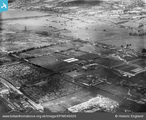
EPW046020 ENGLAND (1934). Edmonton Urban District Council Sewage Farm and environs, Edmonton, 1934. This image has been produced from a copy-negative.
© Hawlfraint cyfranwyr OpenStreetMap a thrwyddedwyd gan yr OpenStreetMap Foundation. 2026. Trwyddedir y gartograffeg fel CC BY-SA.
Delweddau cyfagos (10)
EPW046020

EPW049707

EPW046018

EPW046014

EPW046015

EPW049708

EPW046445

EPW046021

EPW046444

EPW048903

Manylion
| Pennawd | [EPW046020] Edmonton Urban District Council Sewage Farm and environs, Edmonton, 1934. This image has been produced from a copy-negative. |
| Cyfeirnod | EPW046020 |
| Dyddiad | September-1934 |
| Dolen | |
| Enw lle | EDMONTON |
| Plwyf | |
| Ardal | |
| Gwlad | ENGLAND |
| Dwyreiniad / Gogleddiad | 535868, 193594 |
| Hydred / Lledred | -0.036988448118876, 51.624270819082 |
| Cyfeirnod Grid Cenedlaethol | TQ359936 |
Pinnau
Byddwch y cyntaf i ychwanegu sylw at y ddelwedd hon!