
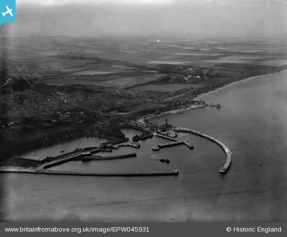
EPW045931 ENGLAND (1934). The harbour, Seaham, from the south-east, 1934
© Hawlfraint cyfranwyr OpenStreetMap a thrwyddedwyd gan yr OpenStreetMap Foundation. 2025. Trwyddedir y gartograffeg fel CC BY-SA.
Delweddau cyfagos (2)
EPW045931

EPW045930

Manylion
| Pennawd | [EPW045931] The harbour, Seaham, from the south-east, 1934 |
| Cyfeirnod | EPW045931 |
| Dyddiad | August-1934 |
| Dolen | |
| Enw lle | SEAHAM |
| Plwyf | SEAHAM |
| Ardal | |
| Gwlad | ENGLAND |
| Dwyreiniad / Gogleddiad | 443637, 549292 |
| Hydred / Lledred | -1.3205260717265, 54.836456046625 |
| Cyfeirnod Grid Cenedlaethol | NZ436493 |
Pinnau

Alan Baker |
Thursday 25th of July 2024 10:59:53 AM | |
|
J May |
Friday 9th of April 2021 03:01:07 PM | |
|
J May |
Friday 9th of April 2021 02:56:46 PM | |
|
J May |
Friday 9th of April 2021 02:55:36 PM | |
|
J May |
Friday 9th of April 2021 02:53:26 PM | |
|
J May |
Friday 9th of April 2021 02:51:04 PM | |
|
J May |
Friday 9th of April 2021 02:50:22 PM | |
|
J May |
Friday 9th of April 2021 02:50:09 PM |