
EPW045764 ENGLAND (1934). Wiltshire Creameries Ltd, Gloucester Road and environs, Malmesbury, 1934
© Hawlfraint cyfranwyr OpenStreetMap a thrwyddedwyd gan yr OpenStreetMap Foundation. 2026. Trwyddedir y gartograffeg fel CC BY-SA.
Delweddau cyfagos (5)
EPW045764

EPW045765

EPW045762

EPW045763

EPW045761

Manylion
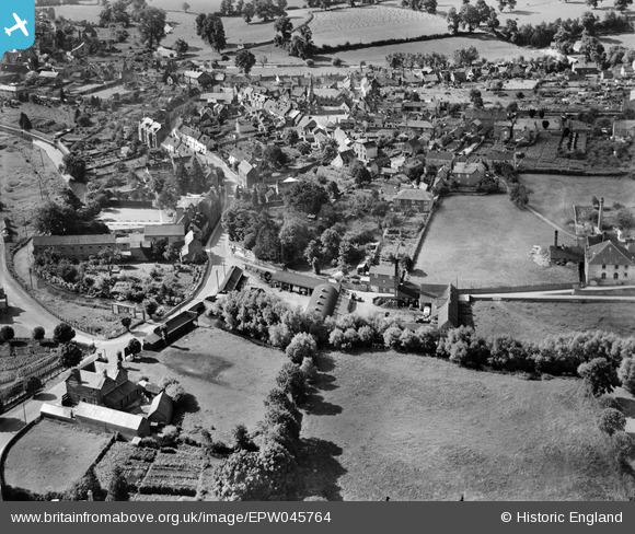
| Pennawd | [EPW045764] Wiltshire Creameries Ltd, Gloucester Road and environs, Malmesbury, 1934 |
| Cyfeirnod | EPW045764 |
| Dyddiad | August-1934 |
| Dolen | |
| Enw lle | MALMESBURY |
| Plwyf | MALMESBURY |
| Ardal | |
| Gwlad | ENGLAND |
| Dwyreiniad / Gogleddiad | 393022, 187728 |
| Hydred / Lledred | -2.1007326308474, 51.587889234613 |
| Cyfeirnod Grid Cenedlaethol | ST930877 |
Pinnau

David960 |
Monday 2nd of February 2015 05:41:56 PM | |

Class31 |
Sunday 10th of August 2014 08:40:27 PM | |
|
Class31 |
Sunday 10th of August 2014 08:37:20 PM | |
David Parry |
Tuesday 7th of May 2013 10:55:06 AM | |
David Parry |
Tuesday 7th of May 2013 10:54:16 AM | |
David Parry |
Tuesday 7th of May 2013 10:53:17 AM | |
David Parry |
Tuesday 7th of May 2013 10:49:13 AM | |
David Parry |
Tuesday 7th of May 2013 10:47:46 AM | |
David Parry |
Tuesday 7th of May 2013 10:37:33 AM | |
David Parry |
Tuesday 7th of May 2013 10:31:17 AM | |
David Parry |
Tuesday 7th of May 2013 10:23:05 AM |

