
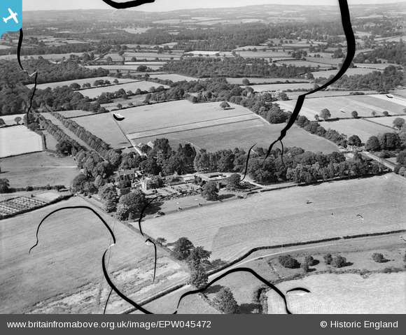
EPW045472 ENGLAND (1934). Isfield Place and surrounding countryside, Isfield, from the south-west, 1934. This image has been produced from a damaged negative.
© Hawlfraint cyfranwyr OpenStreetMap a thrwyddedwyd gan yr OpenStreetMap Foundation. 2026. Trwyddedir y gartograffeg fel CC BY-SA.
Delweddau cyfagos (44)
EPW045472

EPW035180

EPW045476

EPW035179

EPW045480

EPW045474

EPW035183

EPW045479

EPW045471

EPW035185

EPW034506

EPW035178

EPW035181

EPW035177

EPW035188

EPW035186

EPW035176

EPW035175

EPW034508

EPW045481

EPW034509

EPW035189

EPW034498

EPW034501

EPW034507

EPW046012

EPW034503

EPW035187

EPW034504

EPW045473

EPW045477

EPW034500

EPW046011

EPW034502

EPW045478

EPW046009

EPW046010

EPW035182

EPW035174

EPW046007

EPW046008

EPW045475

EPW034499

EPW035184

Manylion
| Pennawd | [EPW045472] Isfield Place and surrounding countryside, Isfield, from the south-west, 1934. This image has been produced from a damaged negative. |
| Cyfeirnod | EPW045472 |
| Dyddiad | July-1934 |
| Dolen | |
| Enw lle | ISFIELD |
| Plwyf | ISFIELD |
| Ardal | |
| Gwlad | ENGLAND |
| Dwyreiniad / Gogleddiad | 544613, 118305 |
| Hydred / Lledred | 0.058783255107027, 50.945473282779 |
| Cyfeirnod Grid Cenedlaethol | TQ446183 |
Pinnau
Byddwch y cyntaf i ychwanegu sylw at y ddelwedd hon!