
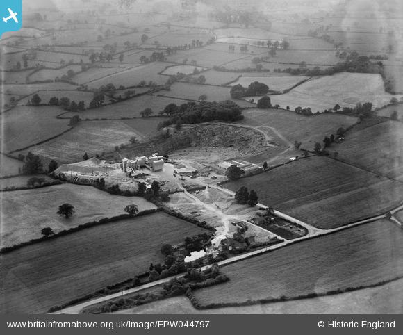
EPW044797 ENGLAND (1934). Wickwar Quarry and surrounding countryside, Charfield, from the east, 1934
© Hawlfraint cyfranwyr OpenStreetMap a thrwyddedwyd gan yr OpenStreetMap Foundation. 2026. Trwyddedir y gartograffeg fel CC BY-SA.
Delweddau cyfagos (4)
EPW044797

EPW044788

EPW044796

EPW044795

Manylion
| Pennawd | [EPW044797] Wickwar Quarry and surrounding countryside, Charfield, from the east, 1934 |
| Cyfeirnod | EPW044797 |
| Dyddiad | June-1934 |
| Dolen | |
| Enw lle | CHARFIELD |
| Plwyf | CHARFIELD |
| Ardal | |
| Gwlad | ENGLAND |
| Dwyreiniad / Gogleddiad | 371648, 189767 |
| Hydred / Lledred | -2.4094418022305, 51.605553905097 |
| Cyfeirnod Grid Cenedlaethol | ST716898 |
Pinnau

Michael Walters |
Monday 29th of August 2016 09:24:09 AM | |
|
Michael Walters |
Monday 29th of August 2016 09:22:18 AM |