
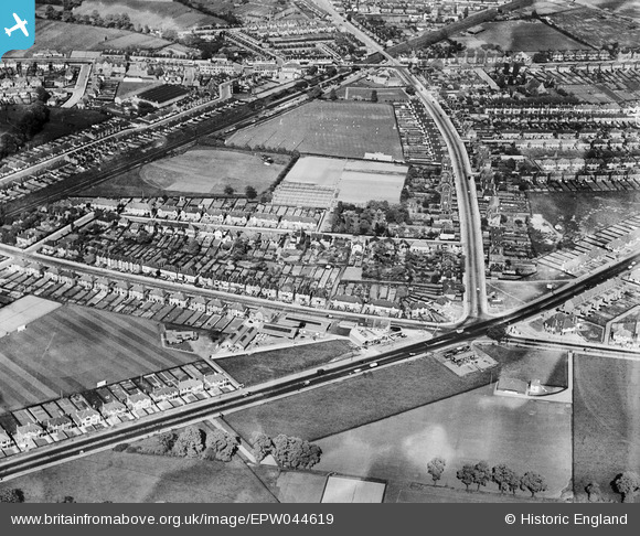
EPW044619 ENGLAND (1934). Residential area at New Eltham, Eltham, 1934
© Hawlfraint cyfranwyr OpenStreetMap a thrwyddedwyd gan yr OpenStreetMap Foundation. 2026. Trwyddedir y gartograffeg fel CC BY-SA.
Delweddau cyfagos (2)
EPW044619

EPW044620

Manylion
| Pennawd | [EPW044619] Residential area at New Eltham, Eltham, 1934 |
| Cyfeirnod | EPW044619 |
| Dyddiad | May-1934 |
| Dolen | |
| Enw lle | ELTHAM |
| Plwyf | |
| Ardal | |
| Gwlad | ENGLAND |
| Dwyreiniad / Gogleddiad | 543601, 172828 |
| Hydred / Lledred | 0.066192385797535, 51.435734958468 |
| Cyfeirnod Grid Cenedlaethol | TQ436728 |
Pinnau

Albion |
Friday 21st of July 2023 08:44:14 PM | |
|
Kathy Emery |
Wednesday 18th of May 2022 09:40:03 PM | |
|
John W |
Saturday 30th of July 2016 05:21:39 PM | |
|
John W |
Saturday 30th of July 2016 05:20:54 PM | |
|
John W |
Saturday 30th of July 2016 05:20:10 PM | |
|
SirTricky |
Friday 25th of July 2014 02:08:36 PM | |
|
tbh54uk |
Sunday 5th of January 2014 04:13:36 PM | |
|
royjfletcher |
Saturday 31st of August 2013 03:08:34 PM | |
|
royjfletcher |
Saturday 31st of August 2013 03:03:15 PM | |
|
EricLawrence |
Friday 30th of August 2013 09:51:51 PM | |
|
EricLawrence |
Friday 30th of August 2013 09:50:24 PM |