
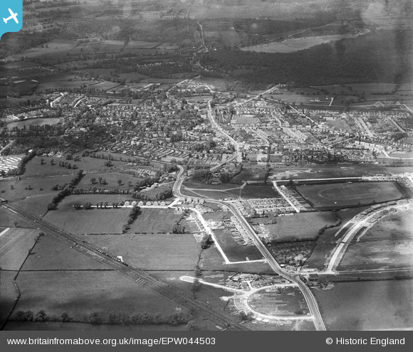
EPW044503 ENGLAND (1934). Housing under construction at The Roundways and West End Road and environs, Ruislip, 1934
© Hawlfraint cyfranwyr OpenStreetMap a thrwyddedwyd gan yr OpenStreetMap Foundation. 2026. Trwyddedir y gartograffeg fel CC BY-SA.
Delweddau cyfagos (4)
EPW044503

EPW001565

EPW044189

EPW044517

Manylion
| Pennawd | [EPW044503] Housing under construction at The Roundways and West End Road and environs, Ruislip, 1934 |
| Cyfeirnod | EPW044503 |
| Dyddiad | May-1934 |
| Dolen | |
| Enw lle | RUISLIP |
| Plwyf | |
| Ardal | |
| Gwlad | ENGLAND |
| Dwyreiniad / Gogleddiad | 509362, 186998 |
| Hydred / Lledred | -0.42182651391633, 51.570756856787 |
| Cyfeirnod Grid Cenedlaethol | TQ094870 |
Pinnau

Steve Roberts |
Monday 20th of May 2013 02:56:44 PM | |
|
Steve Roberts |
Monday 20th of May 2013 02:56:09 PM | |
|
Steve Roberts |
Monday 20th of May 2013 02:55:34 PM |