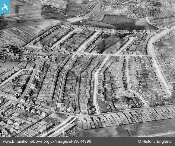
EPW044399 ENGLAND (1934). Housing development between Oaklands Avenue and Halfway Street, Blackfen, 1934
    © Hawlfraint cyfranwyr OpenStreetMap a thrwyddedwyd gan yr OpenStreetMap Foundation. 2025. Trwyddedir y gartograffeg fel CC BY-SA.
  
Manylion
| Pennawd | [EPW044399] Housing development between Oaklands Avenue and Halfway Street, Blackfen, 1934 | 
| Cyfeirnod | EPW044399 | 
| Dyddiad | May-1934 | 
| Dolen | |
| Enw lle | BLACKFEN | 
| Plwyf | |
| Ardal | |
| Gwlad | ENGLAND | 
| Dwyreiniad / Gogleddiad | 545471, 173445 | 
| Hydred / Lledred | 0.093333118939431, 51.440802541457 | 
| Cyfeirnod Grid Cenedlaethol | TQ455734 | 
Pinnau
|  Days Lane School.  Looks as if construction on the rear block (Infants when I was there in the 1950s) is just starting. |   Tom Burnham | Thursday 4th of June 2015 10:43:57 PM | 
 
             
  ![[EPW044399] Housing development between Oaklands Avenue and Halfway Street, Blackfen, 1934](http://britainfromabove.org.uk/sites/all/libraries/aerofilms-images/public/100x100/EPW/044/EPW044399.jpg) 
  
                                          ![[EPW044398] Housing development between Oaklands Avenue and Halfway Street, Blackfen, 1934](http://britainfromabove.org.uk/sites/all/libraries/aerofilms-images/public/100x100/EPW/044/EPW044398.jpg) 
 ![[EPW044280] Housing development around Woodlands Avenue and environs , Blackfen, 1934](http://britainfromabove.org.uk/sites/all/libraries/aerofilms-images/public/100x100/EPW/044/EPW044280.jpg) 
 ![[EPW044279] Housing development around Lamorbey Residential School and Willersley Avenue, Blackfen, 1934](http://britainfromabove.org.uk/sites/all/libraries/aerofilms-images/public/100x100/EPW/044/EPW044279.jpg)