
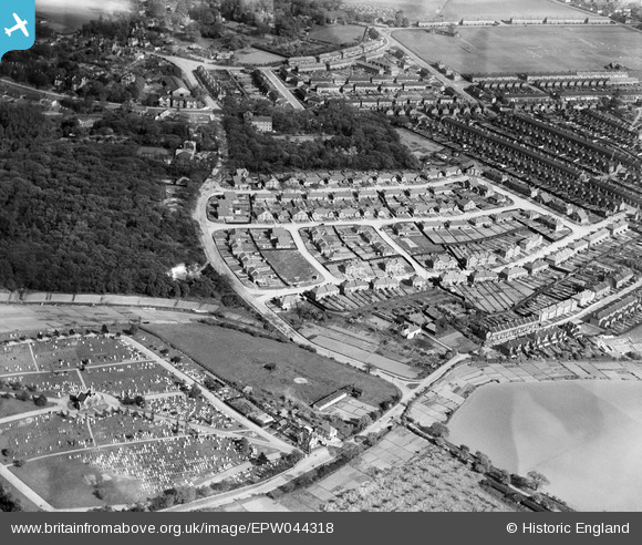
EPW044318 ENGLAND (1934). Erith Cemetery and New Ideal Homesteads housing to the south of Carlton Road, Northumberland Heath, 1934
© Hawlfraint cyfranwyr OpenStreetMap a thrwyddedwyd gan yr OpenStreetMap Foundation. 2026. Trwyddedir y gartograffeg fel CC BY-SA.
Delweddau cyfagos (13)
EPW044318

EPW044315

EPW044314

EPW044317

EPW044316

EPW038193

EPW038199

EPW038194

EPW038195

EPW044319

EPW038196

EPW038198

EPW038197

Manylion
| Pennawd | [EPW044318] Erith Cemetery and New Ideal Homesteads housing to the south of Carlton Road, Northumberland Heath, 1934 |
| Cyfeirnod | EPW044318 |
| Dyddiad | May-1934 |
| Dolen | |
| Enw lle | NORTHUMBERLAND HEATH |
| Plwyf | |
| Ardal | |
| Gwlad | ENGLAND |
| Dwyreiniad / Gogleddiad | 549975, 177678 |
| Hydred / Lledred | 0.15989264512985, 51.477666281004 |
| Cyfeirnod Grid Cenedlaethol | TQ500777 |
Pinnau
Byddwch y cyntaf i ychwanegu sylw at y ddelwedd hon!