
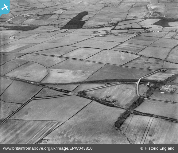
EPW043810 ENGLAND (1934). Ashtree Lane and the Garesfield and Chopwell Railway, Thornley Bank, from the south-east, 1934
© Hawlfraint cyfranwyr OpenStreetMap a thrwyddedwyd gan yr OpenStreetMap Foundation. 2026. Trwyddedir y gartograffeg fel CC BY-SA.
Delweddau cyfagos (2)
EPW043810

EPW043809

Manylion
| Pennawd | [EPW043810] Ashtree Lane and the Garesfield and Chopwell Railway, Thornley Bank, from the south-east, 1934 |
| Cyfeirnod | EPW043810 |
| Dyddiad | February-1934 |
| Dolen | |
| Enw lle | THORNLEY BANK |
| Plwyf | |
| Ardal | |
| Gwlad | ENGLAND |
| Dwyreiniad / Gogleddiad | 415964, 559991 |
| Hydred / Lledred | -1.750822648672, 54.934257892734 |
| Cyfeirnod Grid Cenedlaethol | NZ160600 |
