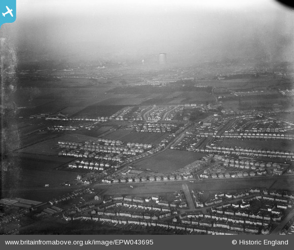
EPW043695 ENGLAND (1934). Cranford Lane and environs, Heston, from the south-east, 1934
    © Hawlfraint cyfranwyr OpenStreetMap a thrwyddedwyd gan yr OpenStreetMap Foundation. 2025. Trwyddedir y gartograffeg fel CC BY-SA.
  
Manylion
| Pennawd | [EPW043695] Cranford Lane and environs, Heston, from the south-east, 1934 | 
| Cyfeirnod | EPW043695 | 
| Dyddiad | January-1934 | 
| Dolen | |
| Enw lle | HESTON | 
| Plwyf | |
| Ardal | |
| Gwlad | ENGLAND | 
| Dwyreiniad / Gogleddiad | 512488, 176579 | 
| Hydred / Lledred | -0.38006262112219, 51.476486725349 | 
| Cyfeirnod Grid Cenedlaethol | TQ125766 | 
 
             
  ![[EPW043695] Cranford Lane and environs, Heston, from the south-east, 1934](http://britainfromabove.org.uk/sites/all/libraries/aerofilms-images/public/100x100/EPW/043/EPW043695.jpg) 
  
                                          ![[EPW035041] The Great West Road and environs, Hounslow, from the south-west, 1931](http://britainfromabove.org.uk/sites/all/libraries/aerofilms-images/public/100x100/EPW/035/EPW035041.jpg) 
 ![[EPW035023] The Great West Road and new housing around Summerhouse Avenue, Heston, 1931](http://britainfromabove.org.uk/sites/all/libraries/aerofilms-images/public/100x100/EPW/035/EPW035023.jpg) 
 ![[EPW035032] The Metropolitan and District Line and Hounslow, Heston, from the north-west, 1931](http://britainfromabove.org.uk/sites/all/libraries/aerofilms-images/public/100x100/EPW/035/EPW035032.jpg) 
  Cranford Lane
 Cranford Lane