
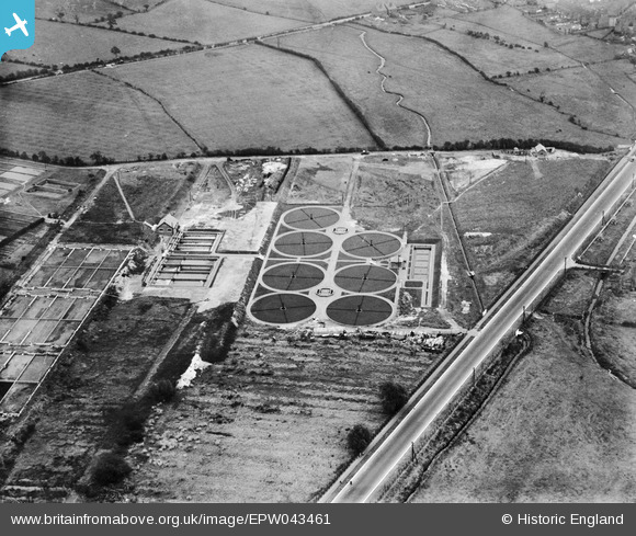
EPW043461 ENGLAND (1933). The Sewage Disposal Works, Cannock, 1933
© Hawlfraint cyfranwyr OpenStreetMap a thrwyddedwyd gan yr OpenStreetMap Foundation. 2026. Trwyddedir y gartograffeg fel CC BY-SA.
Delweddau cyfagos (9)
EPW043461

EPW043459

EPW043463

EPW043457

EPW043462

EPW043460

EPW043464

EPW043465

EPW043458

Manylion
| Pennawd | [EPW043461] The Sewage Disposal Works, Cannock, 1933 |
| Cyfeirnod | EPW043461 |
| Dyddiad | October-1933 |
| Dolen | |
| Enw lle | CANNOCK |
| Plwyf | |
| Ardal | |
| Gwlad | ENGLAND |
| Dwyreiniad / Gogleddiad | 397469, 308920 |
| Hydred / Lledred | -2.0374393607337, 52.677629024225 |
| Cyfeirnod Grid Cenedlaethol | SJ975089 |
Pinnau

GeoffR |
Wednesday 9th of November 2016 08:22:42 PM |