
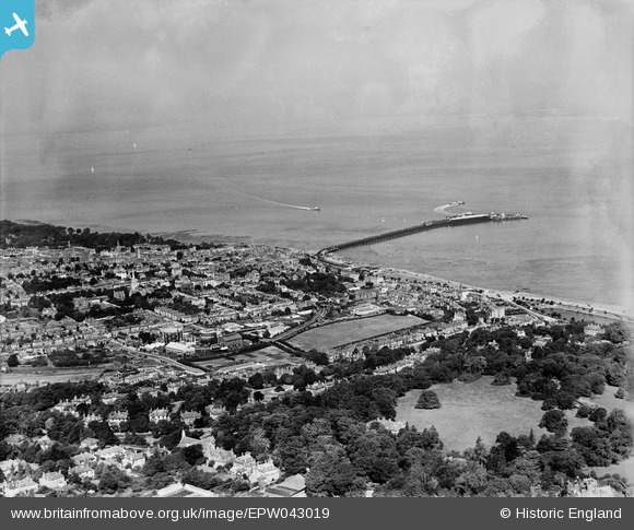
EPW043019 ENGLAND (1933). St John's Park, the town and the Solent, Ryde, from the south-east, 1933
© Hawlfraint cyfranwyr OpenStreetMap a thrwyddedwyd gan yr OpenStreetMap Foundation. 2026. Trwyddedir y gartograffeg fel CC BY-SA.
Delweddau cyfagos (2)
EPW043019

EPW039641

Manylion
| Pennawd | [EPW043019] St John's Park, the town and the Solent, Ryde, from the south-east, 1933 |
| Cyfeirnod | EPW043019 |
| Dyddiad | August-1933 |
| Dolen | |
| Enw lle | RYDE |
| Plwyf | RYDE |
| Ardal | |
| Gwlad | ENGLAND |
| Dwyreiniad / Gogleddiad | 460000, 92265 |
| Hydred / Lledred | -1.1498321542274, 50.72633124139 |
| Cyfeirnod Grid Cenedlaethol | SZ600923 |
Pinnau

Helen |
Monday 3rd of February 2025 07:10:33 PM | |
|
Helen |
Monday 3rd of February 2025 07:10:02 PM | |
|
Helen |
Monday 3rd of February 2025 07:09:30 PM | |
|
Helen |
Monday 3rd of February 2025 07:09:02 PM | |
|
Helen |
Monday 3rd of February 2025 07:06:24 PM | |
|
Helen |
Monday 3rd of February 2025 07:03:42 PM | |
|
Helen |
Monday 3rd of February 2025 07:02:25 PM | |

Class31 |
Tuesday 29th of October 2013 12:27:14 PM |

Cyfraniadau Grŵp

An aerial view of Ryde, 18/07/2014 courtesy Con Shields |
Class31 |
Monday 21st of July 2014 05:10:27 PM |