
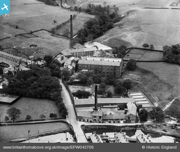
EPW042706 ENGLAND (1933). The Rosebank Print Works, Chatterton, 1933
© Hawlfraint cyfranwyr OpenStreetMap a thrwyddedwyd gan yr OpenStreetMap Foundation. 2026. Trwyddedir y gartograffeg fel CC BY-SA.
Delweddau cyfagos (5)
EPW042706

EPW042707

EPW042700

EPW042701

EPW042698

Manylion
| Pennawd | [EPW042706] The Rosebank Print Works, Chatterton, 1933 |
| Cyfeirnod | EPW042706 |
| Dyddiad | August-1933 |
| Dolen | |
| Enw lle | CHATTERTON |
| Plwyf | |
| Ardal | |
| Gwlad | ENGLAND |
| Dwyreiniad / Gogleddiad | 379489, 418170 |
| Hydred / Lledred | -2.3104105560015, 53.659386038884 |
| Cyfeirnod Grid Cenedlaethol | SD795182 |
Pinnau

wadey |
Tuesday 4th of November 2025 09:54:49 PM | |
|
wadey |
Tuesday 4th of November 2025 09:52:34 PM | |
|
wadey |
Thursday 6th of November 2014 03:13:54 PM | |
|
wadey |
Thursday 6th of November 2014 03:13:26 PM | |
|
wadey |
Thursday 6th of November 2014 03:12:47 PM | |
|
wadey |
Thursday 6th of November 2014 03:12:25 PM |