
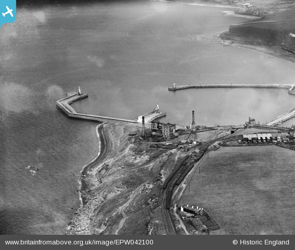
EPW042100 ENGLAND (1933). Wellington Pit and the Outer Harbour, Whitehaven, 1933
© Hawlfraint cyfranwyr OpenStreetMap a thrwyddedwyd gan yr OpenStreetMap Foundation. 2026. Trwyddedir y gartograffeg fel CC BY-SA.
Manylion
| Pennawd | [EPW042100] Wellington Pit and the Outer Harbour, Whitehaven, 1933 |
| Cyfeirnod | EPW042100 |
| Dyddiad | June-1933 |
| Dolen | |
| Enw lle | WHITEHAVEN |
| Plwyf | |
| Ardal | |
| Gwlad | ENGLAND |
| Dwyreiniad / Gogleddiad | 296772, 518445 |
| Hydred / Lledred | -3.5961641372598, 54.550585713764 |
| Cyfeirnod Grid Cenedlaethol | NX968184 |
Pinnau

gnombicards |
Tuesday 12th of May 2020 01:27:12 PM | |
|
gnombicards |
Tuesday 12th of May 2020 01:26:25 PM | |
|
gnombicards |
Tuesday 12th of May 2020 01:25:56 PM | |
|
gnombicards |
Tuesday 12th of May 2020 01:25:22 PM | |
|
RichardG |
Wednesday 27th of June 2018 05:20:32 PM |
Cyfraniadau Grŵp

Wellington Pit |
MotoFreako64 |
Friday 14th of June 2013 08:50:12 PM |