
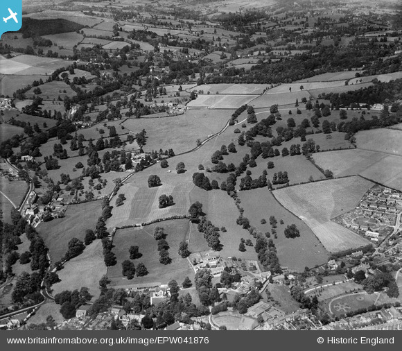
EPW041876 ENGLAND (1933). Badbrook and the Painswick Valley, Stroud, from the south, 1933
© Hawlfraint cyfranwyr OpenStreetMap a thrwyddedwyd gan yr OpenStreetMap Foundation. 2026. Trwyddedir y gartograffeg fel CC BY-SA.
Delweddau cyfagos (5)
EPW041876

EPW041902

EPW041877

EPW041878

EPW041903

Manylion
| Pennawd | [EPW041876] Badbrook and the Painswick Valley, Stroud, from the south, 1933 |
| Cyfeirnod | EPW041876 |
| Dyddiad | June-1933 |
| Dolen | |
| Enw lle | STROUD |
| Plwyf | STROUD |
| Ardal | |
| Gwlad | ENGLAND |
| Dwyreiniad / Gogleddiad | 385095, 205823 |
| Hydred / Lledred | -2.2159363984329, 51.750448825467 |
| Cyfeirnod Grid Cenedlaethol | SO851058 |
Pinnau
Byddwch y cyntaf i ychwanegu sylw at y ddelwedd hon!