
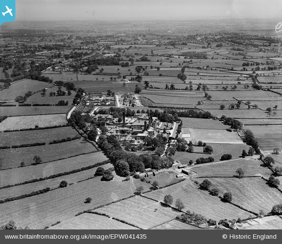
EPW041435 ENGLAND (1933). Derbyshire Lunatic Asylum (later known as Pastures Hospital) and surrounding countryside, Burnaston, from the west, 1933
© Hawlfraint cyfranwyr OpenStreetMap a thrwyddedwyd gan yr OpenStreetMap Foundation. 2026. Trwyddedir y gartograffeg fel CC BY-SA.
Delweddau cyfagos (5)
EPW041435
 and surrounding countryside, Burnaston, from the west, 1933")
EPW041429
, Burnaston, 1933")
EPW041436
 and surrounding countryside, Burnaston, from the south-west, 1933")
EPW041433
 and environs, Burnaston, 1933")
EPW041432
 and environs, Burnaston, 1933")
Manylion
| Pennawd | [EPW041435] Derbyshire Lunatic Asylum (later known as Pastures Hospital) and surrounding countryside, Burnaston, from the west, 1933 |
| Cyfeirnod | EPW041435 |
| Dyddiad | June-1933 |
| Dolen | |
| Enw lle | BURNASTON |
| Plwyf | BURNASTON |
| Ardal | |
| Gwlad | ENGLAND |
| Dwyreiniad / Gogleddiad | 429574, 333053 |
| Hydred / Lledred | -1.5603574614578, 52.893790146232 |
| Cyfeirnod Grid Cenedlaethol | SK296331 |
Pinnau
Byddwch y cyntaf i ychwanegu sylw at y ddelwedd hon!