
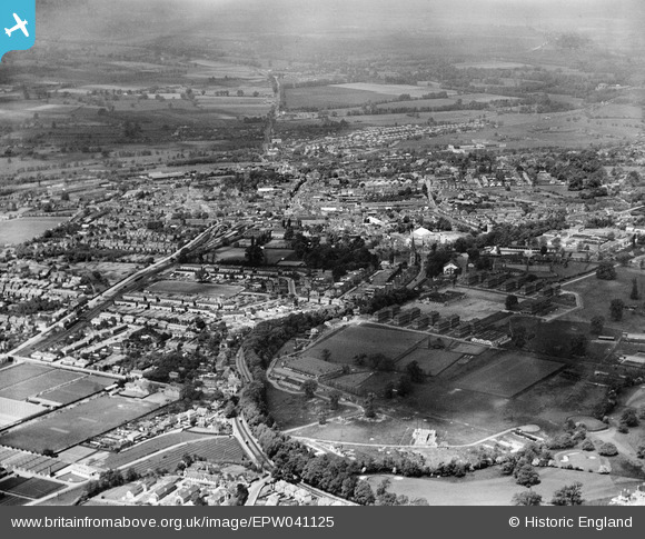
EPW041125 ENGLAND (1933). Hillingdon Golf Course and the town, Uxbridge, from the south-east, 1933
© Hawlfraint cyfranwyr OpenStreetMap a thrwyddedwyd gan yr OpenStreetMap Foundation. 2026. Trwyddedir y gartograffeg fel CC BY-SA.
Delweddau cyfagos (4)
EPW041125

EPW041126

EPW041127

EPW041122

Manylion
| Pennawd | [EPW041125] Hillingdon Golf Course and the town, Uxbridge, from the south-east, 1933 |
| Cyfeirnod | EPW041125 |
| Dyddiad | May-1933 |
| Dolen | |
| Enw lle | UXBRIDGE |
| Plwyf | |
| Ardal | |
| Gwlad | ENGLAND |
| Dwyreiniad / Gogleddiad | 506162, 183183 |
| Hydred / Lledred | -0.46913869730866, 51.537074782445 |
| Cyfeirnod Grid Cenedlaethol | TQ062832 |
Pinnau

Brian |
Saturday 24th of February 2018 03:46:18 PM | |
|
brian |
Wednesday 1st of January 2014 10:09:53 PM | |
|
brian |
Wednesday 1st of January 2014 10:08:30 PM | |
|
brian |
Wednesday 1st of January 2014 10:04:28 PM | |
|
brian |
Wednesday 1st of January 2014 10:02:34 PM | |
|
brian |
Wednesday 1st of January 2014 10:00:20 PM | |
|
brian |
Wednesday 1st of January 2014 09:58:42 PM | |
|
dave43 |
Monday 10th of June 2013 08:11:49 PM |