
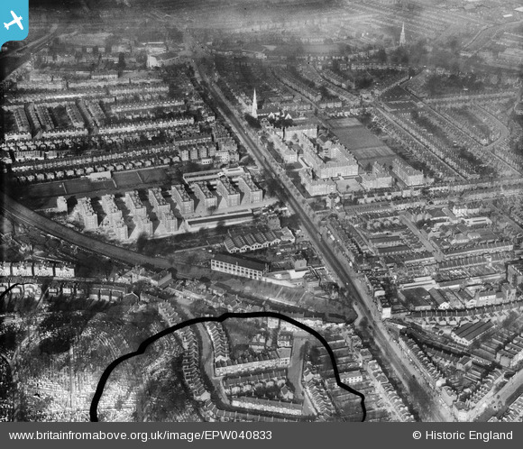
EPW040833 ENGLAND (1933). The Guinness Trust Estate, Malvern House and environs, Stamford Hill, 1933. This image has been produced from a damaged negative.
© Hawlfraint cyfranwyr OpenStreetMap a thrwyddedwyd gan yr OpenStreetMap Foundation. 2026. Trwyddedir y gartograffeg fel CC BY-SA.
Delweddau cyfagos (6)
EPW040833

EPW040831

EPW040832

EPW040828

EPW040836

EPW040829

Manylion
| Pennawd | [EPW040833] The Guinness Trust Estate, Malvern House and environs, Stamford Hill, 1933. This image has been produced from a damaged negative. |
| Cyfeirnod | EPW040833 |
| Dyddiad | February-1933 |
| Dolen | |
| Enw lle | STAMFORD HILL |
| Plwyf | |
| Ardal | |
| Gwlad | ENGLAND |
| Dwyreiniad / Gogleddiad | 533607, 187180 |
| Hydred / Lledred | -0.0720781083249, 51.567167994326 |
| Cyfeirnod Grid Cenedlaethol | TQ336872 |
Pinnau

Leslie B |
Wednesday 16th of March 2016 09:09:29 PM |