
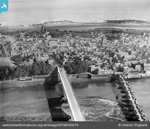
EPW040679 ENGLAND (1932). The town centre, Berwick-upon-Tweed, from the south-west, 1932
© Hawlfraint cyfranwyr OpenStreetMap a thrwyddedwyd gan yr OpenStreetMap Foundation. 2026. Trwyddedir y gartograffeg fel CC BY-SA.
Delweddau cyfagos (4)
EPW040679

EAW022832

EAW046411

EAW046008

Manylion
| Pennawd | [EPW040679] The town centre, Berwick-upon-Tweed, from the south-west, 1932 |
| Cyfeirnod | EPW040679 |
| Dyddiad | October-1932 |
| Dolen | |
| Enw lle | BERWICK-UPON-TWEED |
| Plwyf | BERWICK-UPON-TWEED |
| Ardal | |
| Gwlad | ENGLAND |
| Dwyreiniad / Gogleddiad | 399561, 652815 |
| Hydred / Lledred | -2.006997831521, 55.768694492995 |
| Cyfeirnod Grid Cenedlaethol | NT996528 |
Pinnau

melgibbs |
Thursday 13th of September 2018 09:33:31 AM | |
 |
melgibbs |
Thursday 13th of September 2018 09:32:32 AM |
 |
melgibbs |
Wednesday 14th of October 2015 06:30:31 PM |