
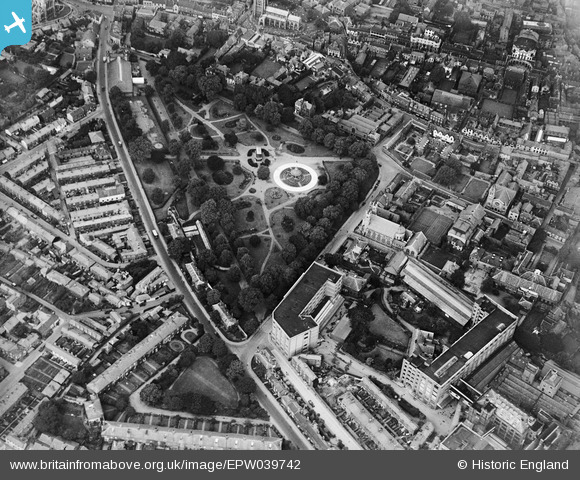
EPW039742 ENGLAND (1932). Chapelfield Gardens and the town centre, Norwich, 1932
© Hawlfraint cyfranwyr OpenStreetMap a thrwyddedwyd gan yr OpenStreetMap Foundation. 2026. Trwyddedir y gartograffeg fel CC BY-SA.
Delweddau cyfagos (10)
EPW039742

EPW052261

EPW021204

EPW052260

EPW021216

EPW021217

EPW052263

EPW052262

EPW001971

EAW005080

Manylion
| Pennawd | [EPW039742] Chapelfield Gardens and the town centre, Norwich, 1932 |
| Cyfeirnod | EPW039742 |
| Dyddiad | 23-July-1932 |
| Dolen | |
| Enw lle | NORWICH |
| Plwyf | |
| Ardal | |
| Gwlad | ENGLAND |
| Dwyreiniad / Gogleddiad | 622620, 308319 |
| Hydred / Lledred | 1.2897053188756, 52.62654653364 |
| Cyfeirnod Grid Cenedlaethol | TG226083 |
Pinnau

Chris Booty |
Monday 23rd of April 2018 12:29:13 PM | |
|
Chris Booty |
Monday 23rd of April 2018 12:27:41 PM | |
|
Andrew Wenley |
Wednesday 11th of April 2018 04:20:51 PM | |
|
Andrew Wenley |
Wednesday 11th of April 2018 04:18:28 PM | |
|
nikksie |
Tuesday 1st of March 2016 03:51:49 PM | |
|
nikksie |
Tuesday 1st of March 2016 03:51:44 PM | |
|
bugbear |
Friday 30th of August 2013 05:02:07 PM | |
|
bugbear |
Friday 30th of August 2013 05:01:28 PM | |
|
bugbear |
Monday 19th of August 2013 10:58:04 AM |
Cyfraniadau Grŵp
Caleys chocolate factory |
Dan Blanchflower |
Friday 20th of December 2013 08:03:55 PM |