EPW039702 ENGLAND (1932). Weymouth Bay and the town, Weymouth, from the north-east, 1932
© Hawlfraint cyfranwyr OpenStreetMap a thrwyddedwyd gan yr OpenStreetMap Foundation. 2026. Trwyddedir y gartograffeg fel CC BY-SA.
Manylion
| Pennawd | [EPW039702] Weymouth Bay and the town, Weymouth, from the north-east, 1932 |
| Cyfeirnod | EPW039702 |
| Dyddiad | August-1932 |
| Dolen | |
| Enw lle | WEYMOUTH |
| Plwyf | |
| Ardal | |
| Gwlad | ENGLAND |
| Dwyreiniad / Gogleddiad | 368728, 80253 |
| Hydred / Lledred | -2.4421104588789, 50.620558561161 |
| Cyfeirnod Grid Cenedlaethol | SY687803 |
Pinnau

Alan McFaden |
Saturday 19th of October 2013 09:11:34 AM | |

Alan McFaden |
Friday 18th of October 2013 04:10:13 PM | |

Alan McFaden |
Friday 18th of October 2013 04:09:06 PM |
Cyfraniadau Grŵp
Weymouth, 03/10/2014 |

Class31 |
Monday 13th of October 2014 01:08:14 PM |
Greenhill Gardens, Weymouth, 03/10/2014 |

Class31 |
Monday 13th of October 2014 01:06:33 PM |
Greenhill Gardens, Weymouth, 03/10/2014 |

Class31 |
Monday 13th of October 2014 01:05:09 PM |

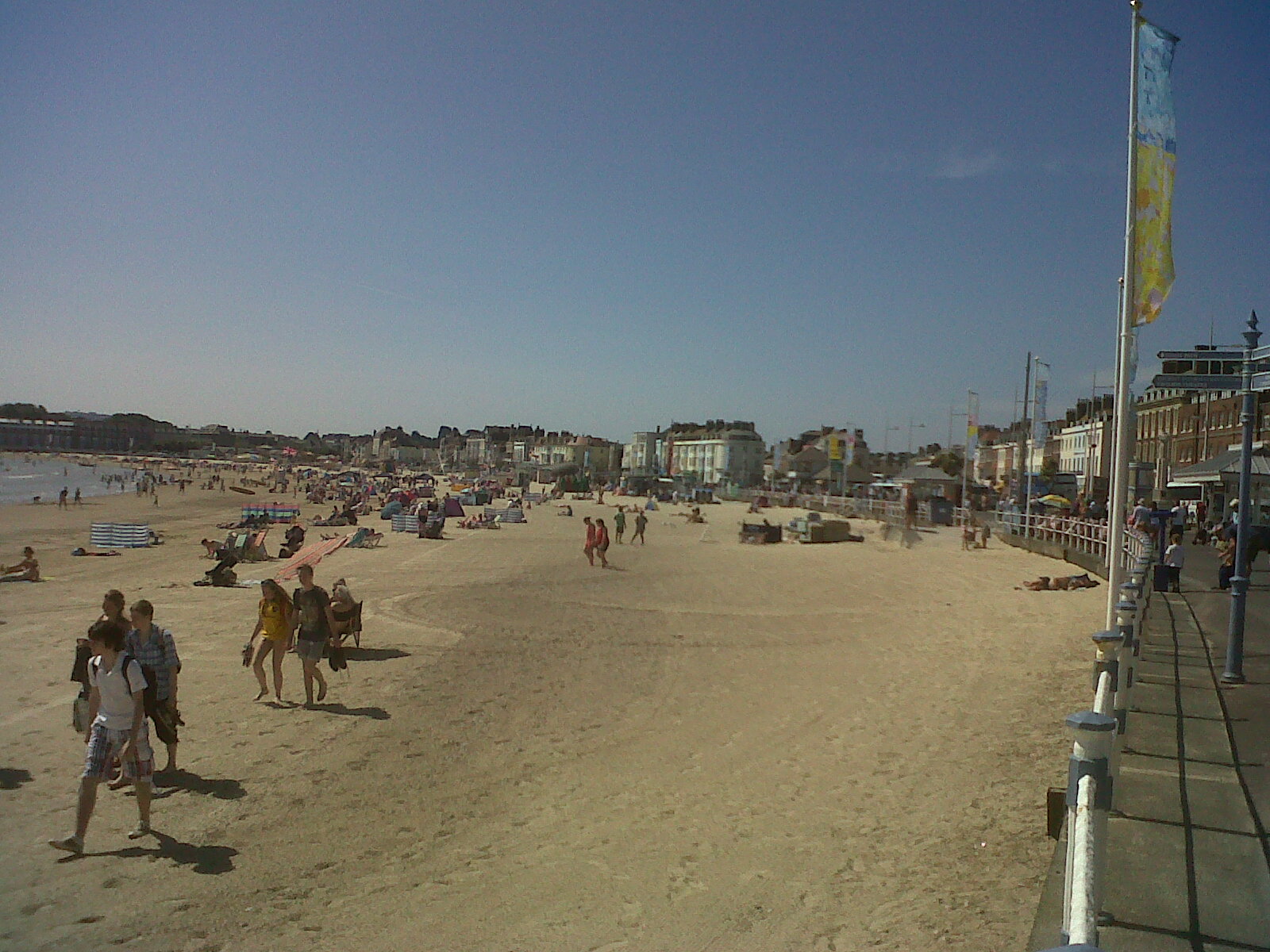
Weymouth Beach looking south, taken today. |

Class31 |
Friday 19th of July 2013 09:22:20 PM |


![[EPW039702] Weymouth Bay and the town, Weymouth, from the north-east, 1932](http://britainfromabove.org.uk/sites/all/libraries/aerofilms-images/public/100x100/EPW/039/EPW039702.jpg)
![[EAW010930] Greenhill and environs, Melcombe Regis, from the east, 1947](http://britainfromabove.org.uk/sites/all/libraries/aerofilms-images/public/100x100/EAW/010/EAW010930.jpg)
![[EAW010931] Melcombe Regis and Radipole Lake, Melcombe Regis, from the east, 1947](http://britainfromabove.org.uk/sites/all/libraries/aerofilms-images/public/100x100/EAW/010/EAW010931.jpg)


