
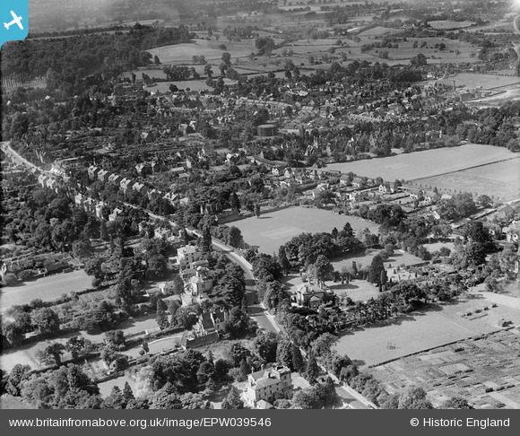
EPW039546 ENGLAND (1932). Housing surrounding Reigatehill Road and St Albans Road, Reigate, 1932
© Hawlfraint cyfranwyr OpenStreetMap a thrwyddedwyd gan yr OpenStreetMap Foundation. 2026. Trwyddedir y gartograffeg fel CC BY-SA.
Delweddau cyfagos (3)
EPW039546

EPW025256

EPW039543

Manylion
| Pennawd | [EPW039546] Housing surrounding Reigatehill Road and St Albans Road, Reigate, 1932 |
| Cyfeirnod | EPW039546 |
| Dyddiad | August-1932 |
| Dolen | |
| Enw lle | REIGATE |
| Plwyf | |
| Ardal | |
| Gwlad | ENGLAND |
| Dwyreiniad / Gogleddiad | 525317, 151047 |
| Hydred / Lledred | -0.20440394335349, 51.244301088489 |
| Cyfeirnod Grid Cenedlaethol | TQ253510 |
Pinnau

john bagley |
Monday 30th of November 2020 01:26:28 PM | |
|
john bagley |
Monday 30th of November 2020 01:24:45 PM | |
|
BruceR |
Tuesday 12th of March 2013 10:29:32 PM | |
|
BruceR |
Wednesday 12th of December 2012 09:48:20 PM |