
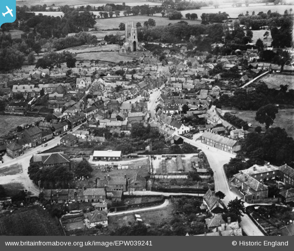
EPW039241 ENGLAND (1932). The town centre, Wymondham, 1932. This image has been produced from a copy-negative.
© Hawlfraint cyfranwyr OpenStreetMap a thrwyddedwyd gan yr OpenStreetMap Foundation. 2026. Trwyddedir y gartograffeg fel CC BY-SA.
Delweddau cyfagos (4)
EPW039241

EPW039240

EPW021446

EPW021568

Manylion
| Pennawd | [EPW039241] The town centre, Wymondham, 1932. This image has been produced from a copy-negative. |
| Cyfeirnod | EPW039241 |
| Dyddiad | July-1932 |
| Dolen | |
| Enw lle | WYMONDHAM |
| Plwyf | WYMONDHAM |
| Ardal | |
| Gwlad | ENGLAND |
| Dwyreiniad / Gogleddiad | 611143, 301463 |
| Hydred / Lledred | 1.1160134247926, 52.56958165019 |
| Cyfeirnod Grid Cenedlaethol | TG111015 |
Pinnau
Byddwch y cyntaf i ychwanegu sylw at y ddelwedd hon!