
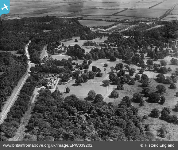
EPW039202 ENGLAND (1932). Sandringham House and Park, Sandringham, from the south-west, 1932
© Hawlfraint cyfranwyr OpenStreetMap a thrwyddedwyd gan yr OpenStreetMap Foundation. 2026. Trwyddedir y gartograffeg fel CC BY-SA.
Delweddau cyfagos (3)
EPW039202

EPW039203

EPW021557

Manylion
| Pennawd | [EPW039202] Sandringham House and Park, Sandringham, from the south-west, 1932 |
| Cyfeirnod | EPW039202 |
| Dyddiad | July-1932 |
| Dolen | |
| Enw lle | SANDRINGHAM |
| Plwyf | SANDRINGHAM |
| Ardal | |
| Gwlad | ENGLAND |
| Dwyreiniad / Gogleddiad | 568859, 328362 |
| Hydred / Lledred | 0.50652964390657, 52.825963080692 |
| Cyfeirnod Grid Cenedlaethol | TF689284 |
Pinnau
Byddwch y cyntaf i ychwanegu sylw at y ddelwedd hon!