
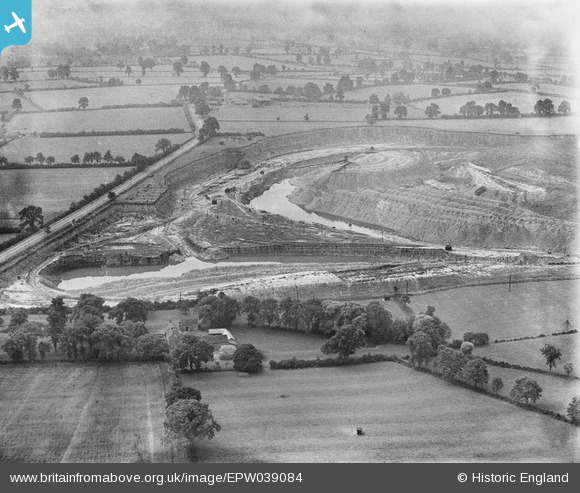
EPW039084 ENGLAND (1932). Spiers's Farm and quarry belonging to the Southam Cement Works, Stockton, 1932
© Hawlfraint cyfranwyr OpenStreetMap a thrwyddedwyd gan yr OpenStreetMap Foundation. 2026. Trwyddedir y gartograffeg fel CC BY-SA.
Delweddau cyfagos (4)
EPW039084

EPW039079

EPW039087

EPW039088

Manylion
| Pennawd | [EPW039084] Spiers's Farm and quarry belonging to the Southam Cement Works, Stockton, 1932 |
| Cyfeirnod | EPW039084 |
| Dyddiad | July-1932 |
| Dolen | |
| Enw lle | STOCKTON |
| Plwyf | STOCKTON |
| Ardal | |
| Gwlad | ENGLAND |
| Dwyreiniad / Gogleddiad | 442314, 263549 |
| Hydred / Lledred | -1.3798585619113, 52.268075069843 |
| Cyfeirnod Grid Cenedlaethol | SP423635 |
Pinnau
Byddwch y cyntaf i ychwanegu sylw at y ddelwedd hon!