
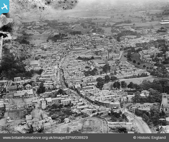
EPW038829 ENGLAND (1932). Highgate and the town centre, Kendal, from the south, 1932
© Hawlfraint cyfranwyr OpenStreetMap a thrwyddedwyd gan yr OpenStreetMap Foundation. 2026. Trwyddedir y gartograffeg fel CC BY-SA.
Delweddau cyfagos (5)
EPW038829

EPW026538

EPW026541

EPW026537

EPW026580

Manylion
| Pennawd | [EPW038829] Highgate and the town centre, Kendal, from the south, 1932 |
| Cyfeirnod | EPW038829 |
| Dyddiad | July-1932 |
| Dolen | |
| Enw lle | KENDAL |
| Plwyf | KENDAL |
| Ardal | |
| Gwlad | ENGLAND |
| Dwyreiniad / Gogleddiad | 351518, 492228 |
| Hydred / Lledred | -2.7454878555425, 54.323172140085 |
| Cyfeirnod Grid Cenedlaethol | SD515922 |
Pinnau
Byddwch y cyntaf i ychwanegu sylw at y ddelwedd hon!