
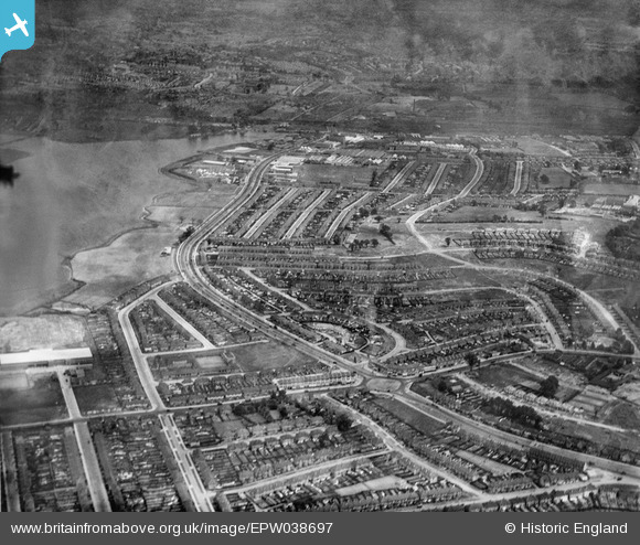
EPW038697 ENGLAND (1932). The Circle and housing off the North Circular Road, Neasden, from the south-west, 1932
© Hawlfraint cyfranwyr OpenStreetMap a thrwyddedwyd gan yr OpenStreetMap Foundation. 2026. Trwyddedir y gartograffeg fel CC BY-SA.
Delweddau cyfagos (8)
EPW038697

EPW046497

EPW038698

EPW038695

EPW046499

EPW046504

EPW046502

EPW032176

Manylion
| Pennawd | [EPW038697] The Circle and housing off the North Circular Road, Neasden, from the south-west, 1932 |
| Cyfeirnod | EPW038697 |
| Dyddiad | June-1932 |
| Dolen | |
| Enw lle | NEASDEN |
| Plwyf | |
| Ardal | |
| Gwlad | ENGLAND |
| Dwyreiniad / Gogleddiad | 521179, 186193 |
| Hydred / Lledred | -0.25165749497018, 51.561104998209 |
| Cyfeirnod Grid Cenedlaethol | TQ212862 |
Pinnau

Class31 |
Monday 13th of October 2014 11:43:00 AM | |
|
Class31 |
Monday 13th of October 2014 11:31:14 AM | |
|
Class31 |
Sunday 2nd of March 2014 11:44:01 PM | |
|
Class31 |
Sunday 2nd of March 2014 11:34:52 PM | |
|
Class31 |
Sunday 2nd of March 2014 11:34:31 PM | |
|
Class31 |
Sunday 2nd of March 2014 11:33:51 PM | |
|
Class31 |
Sunday 2nd of March 2014 11:33:32 PM | |
|
Class31 |
Sunday 2nd of March 2014 11:33:18 PM | |
|
Class31 |
Sunday 2nd of March 2014 11:33:02 PM | |
|
Class31 |
Sunday 2nd of March 2014 11:32:25 PM | |

Gladstone Hay |
Thursday 28th of November 2013 02:49:09 PM | |
|
Gladstone Hay |
Thursday 28th of November 2013 02:45:45 PM | |
|
Gladstone Hay |
Thursday 28th of November 2013 02:43:03 PM | |
|
Gladstone Hay |
Thursday 28th of November 2013 02:40:32 PM |

