
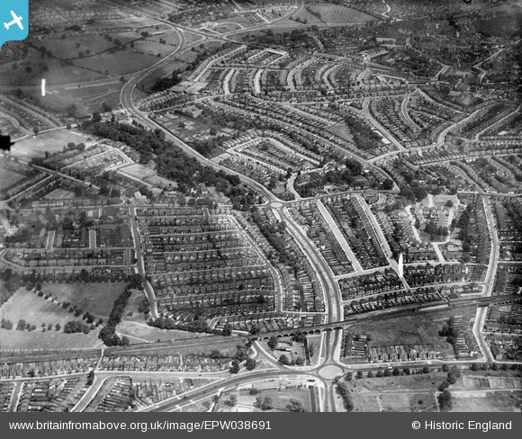
EPW038691 ENGLAND (1932). Brent Park and housing off the North Circular Road, Golders Green, 1932
© Hawlfraint cyfranwyr OpenStreetMap a thrwyddedwyd gan yr OpenStreetMap Foundation. 2026. Trwyddedir y gartograffeg fel CC BY-SA.
Delweddau cyfagos (3)
EPW038691

EPW038800

EPW038803

Manylion
| Pennawd | [EPW038691] Brent Park and housing off the North Circular Road, Golders Green, 1932 |
| Cyfeirnod | EPW038691 |
| Dyddiad | June-1932 |
| Dolen | |
| Enw lle | GOLDERS GREEN |
| Plwyf | |
| Ardal | |
| Gwlad | ENGLAND |
| Dwyreiniad / Gogleddiad | 523984, 188418 |
| Hydred / Lledred | -0.21042329555277, 51.58049357401 |
| Cyfeirnod Grid Cenedlaethol | TQ240884 |
Pinnau

Captaintee |
Friday 9th of November 2018 04:38:05 PM | |
|
Captaintee |
Friday 9th of November 2018 04:37:18 PM | |
|
Captaintee |
Friday 9th of November 2018 04:36:42 PM |