
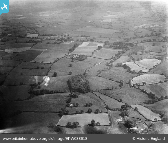
EPW038618 ENGLAND (1932). Kingstreet, the River Dean and surrounding countryside, Deanwater, 1932
© Hawlfraint cyfranwyr OpenStreetMap a thrwyddedwyd gan yr OpenStreetMap Foundation. 2026. Trwyddedir y gartograffeg fel CC BY-SA.
Delweddau cyfagos (3)
EPW038618

EPW038619

EPW038617

Manylion
| Pennawd | [EPW038618] Kingstreet, the River Dean and surrounding countryside, Deanwater, 1932 |
| Cyfeirnod | EPW038618 |
| Dyddiad | June-1932 |
| Dolen | |
| Enw lle | DEANWATER |
| Plwyf | |
| Ardal | |
| Gwlad | ENGLAND |
| Dwyreiniad / Gogleddiad | 387480, 382289 |
| Hydred / Lledred | -2.188044268512, 53.337089240519 |
| Cyfeirnod Grid Cenedlaethol | SJ875823 |
Pinnau

John Ellis |
Thursday 18th of August 2016 11:03:14 PM | |
|
John Ellis |
Thursday 18th of August 2016 11:00:57 PM | |
|
John Ellis |
Thursday 18th of August 2016 10:59:49 PM | |
|
John Ellis |
Thursday 18th of August 2016 10:58:38 PM | |
|
John Ellis |
Thursday 18th of August 2016 10:56:36 PM | |
|
John Ellis |
Thursday 18th of August 2016 10:55:53 PM |